


19,1 km | 0 m-effort

Gebruiker


Gratisgps-wandelapplicatie
 SityTrail
IGN / Geografische instituten
SityTrail World
De wereld gaat voor u open
Tocht Fiets van 44 km beschikbaar op Auvergne-Rhône-Alpes, Rhône, Les Ardillats. Deze tocht wordt voorgesteld door tracegps.
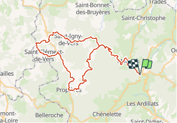
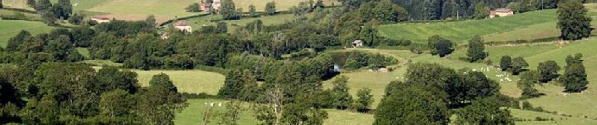
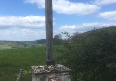
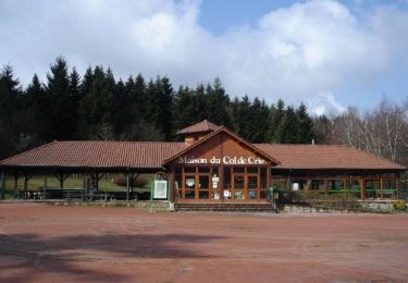
Circuit proposé par l’office de tourisme du Haut-Beaujolais. Départ de la maison du tourisme du col de Crie. Cet itinéraire traverse de magnifiques forêts de sapins et contourne le Mont Rigaud, le plus haut sommet du département avec ses 1 012 mètres d’altitude. Après Ajoux, arrêtez-vous pour admirer le vallon du Sarnin et son « gros sapin », vieux de 170 ans et haut de 42 mètres ! Cette variante courte permet de découvrir l’habitat traditionnel de la région, au milieu d’un paysage montagnard. Retrouvez le circuit sur le site de l’office de tourisme du Haut-Beaujolais.
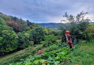
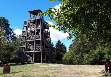
 - Monsols - Photo 1")
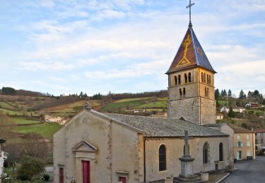
 - Monsols - Photo 2")
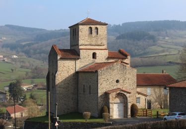
 - Monsols - Photo 3")
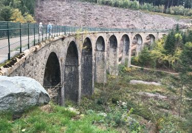
 - Monsols - Photo 4")
 - Monsols - Photo 5")
Stappen
Stappen
Stappen
Te voet
Te voet

Te voet
Te voet
Stappen
Te voet